

Kriens – Pilatus Kulm
Resumen del sendero
Google Maps
Longitud
10.8 km
Dificultad
🔴 Difícil
Punto de partida
Kriens
Duración
5 hours
Elevación
1,620 m
Punto final
Pilatus Kulm
Descripción del sendero
Kriens to Pilatus Kulm Hike
The Kriens to Pilatus Kulm Hike is one of the most iconic mountain hikes in Central Switzerland. Beginning in the town of Kriens, this demanding trail climbs through peaceful forests, alpine meadows and rugged mountain landscapes before reaching the summit of Mount Pilatus at 2,132 metres above sea level.
The route passes Fräkmüntegg, where hikers can take a break before continuing the steeper ascent towards Pilatus Kulm. Along the way, stunning views over Lake Lucerne, the surrounding mountains and the Swiss Plateau make every step worthwhile.
Lo más destacado de la ruta
- Classic full ascent of Mount Pilatus
- Beautiful forests and alpine scenery
- Fantastic viewpoints over Lake Lucerne
- Passes Fräkmüntegg mountain station
- Finish at the famous Pilatus Kulm summit
Dificultad
The Kriens to Pilatus Kulm Hike is considered difficult due to its long distance and significant elevation gain. Good fitness, proper hiking boots and sufficient water are essential.
Mejor época para hacer senderismo
The trail is typically open from June to October, depending on snow conditions and weather. Always check current trail conditions before setting out.
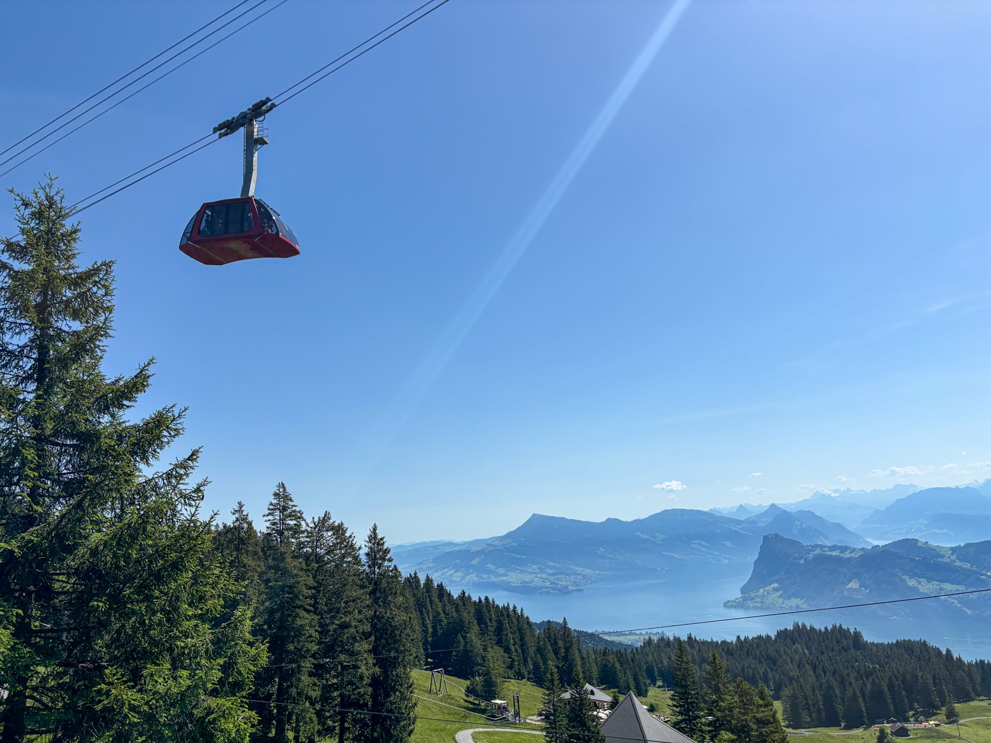
Teleférico Dragon Ride del Monte Pilato | Montañas Suizas
El teleférico Dragon Ride ofrece impresionantes vistas panorámicas del lago de Lucerna.
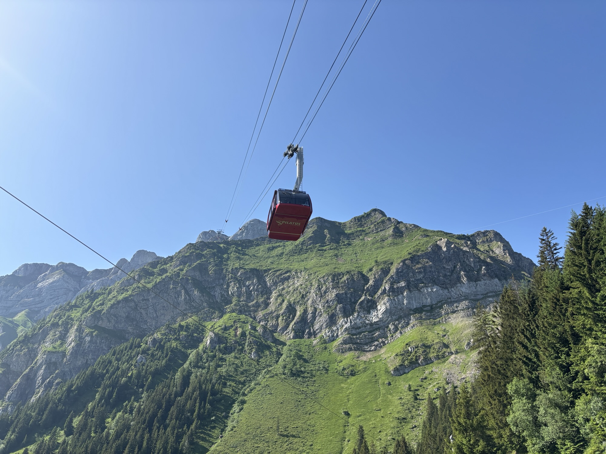
img_7423
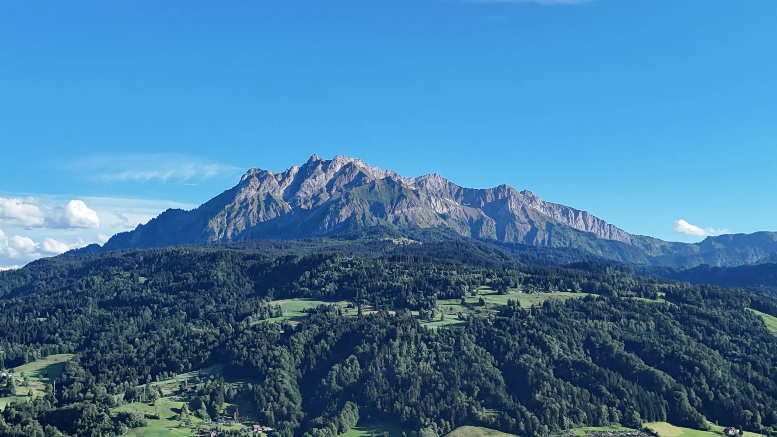
Monte Pilatus, Lucerna, Suiza
Vista del monte Pilatus sobre el lago de Lucerna
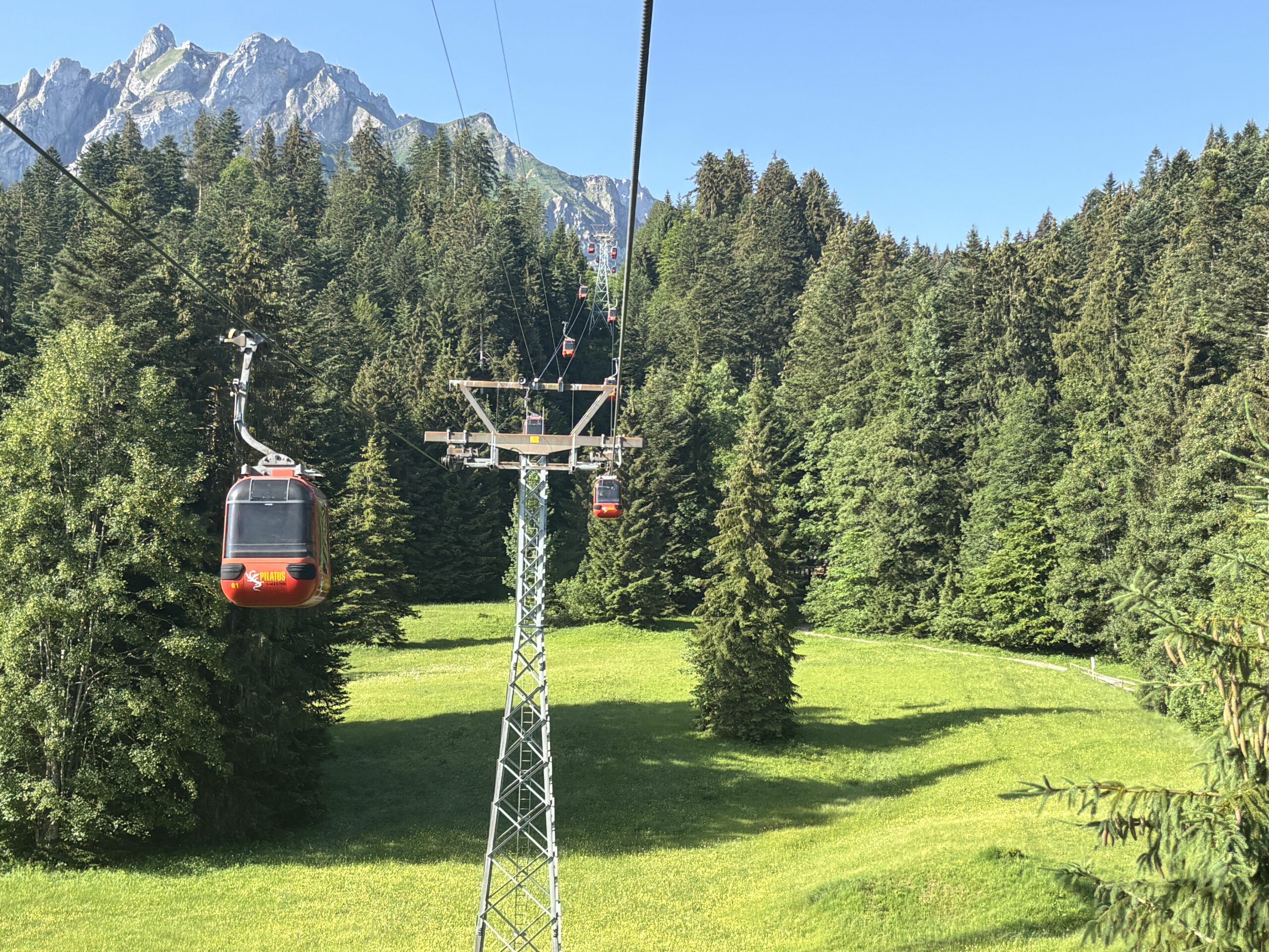
Teleférico de Kriens a Fräkmüntegg
Teleférico que conecta Kriens con Fräkmüntegg en el monte Pilatus.
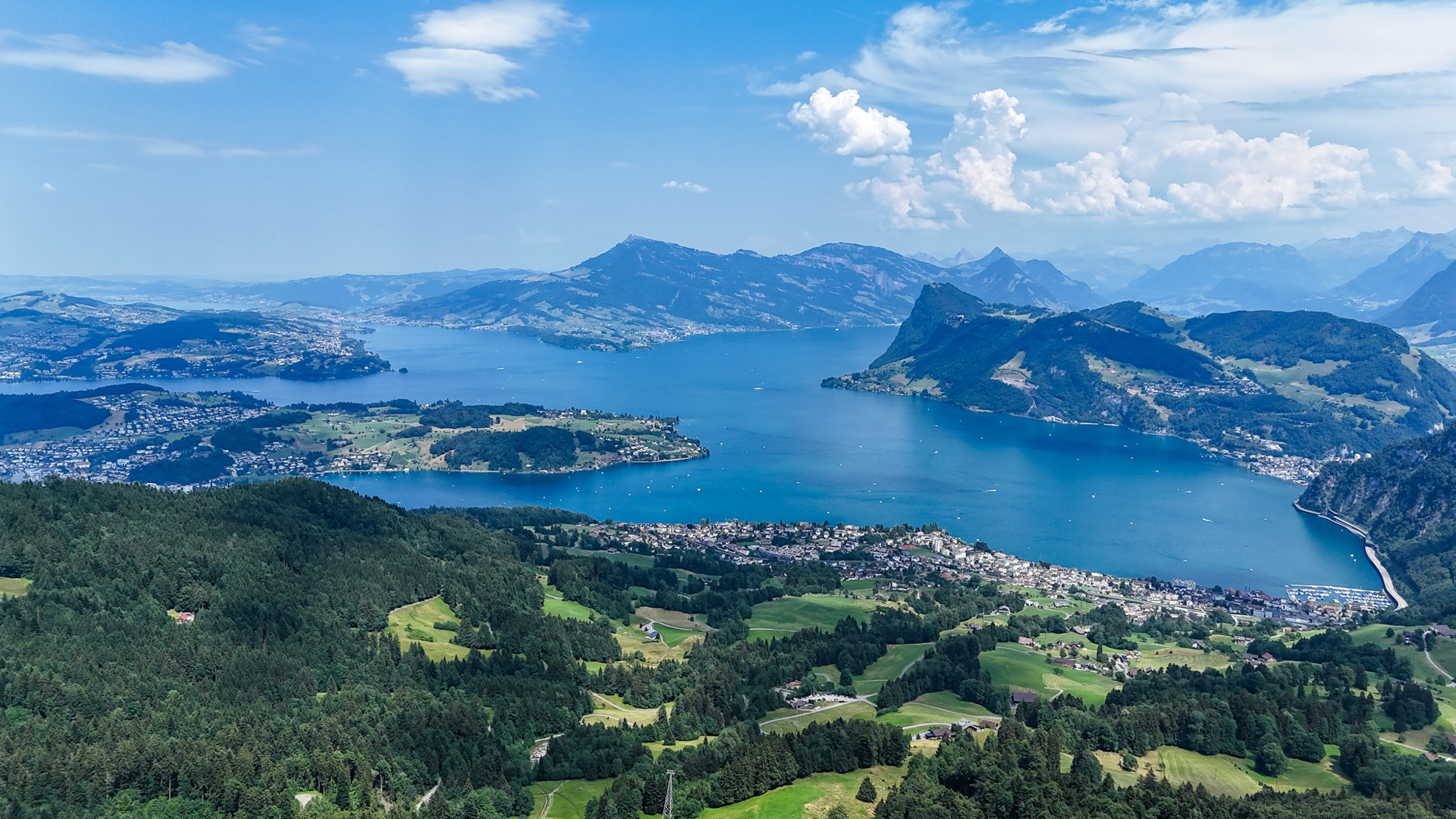
Panorama aérea del lago de Lucerna | SwissMounts
Espectacular panorama aéreo del lago de Lucerna capturado por dron en el corazón de Suiza Central.
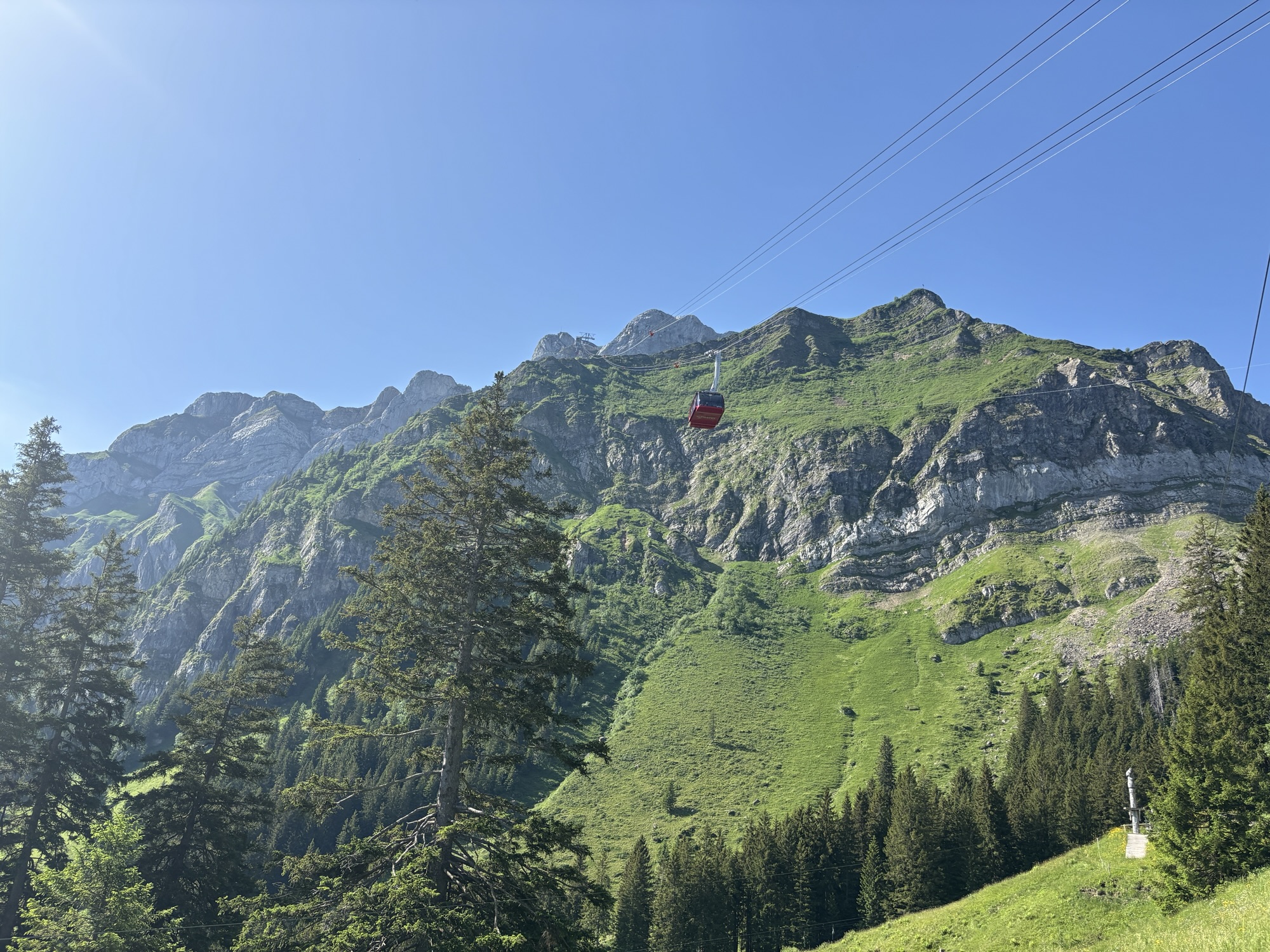
Teleférico Dragon Ride – Monte Pilatus
El teleférico Dragon Ride asciende al monte Pilatus en la región de Lucerna, en Suiza.