

Fräkmüntegg – Pilatus Kulm
Aperçu du sentier
Google Maps
Longueur
4.7 km
Difficulté
🟡 Modéré
Point de départ
640 m
Durée
2 hours
Élévation
640 m
Point de terminaison
Pilatus Kulm
Description du sentier
The hike from Fräkmüntegg to Pilatus Kulm is one of the most iconic mountain trails on Mount Pilatus. Following well-marked alpine paths, hikers gradually ascend above the tree line towards the famous summit station.
Along the route, breathtaking views open up across Lake Lucerne, the surrounding mountains and the rolling landscapes of Central Switzerland. The trail combines rocky mountain terrain with alpine meadows, making it one of the most scenic sections of the Pilatus hiking network.
After reaching Pilatus Kulm at 2,132 metres, visitors can enjoy panoramic viewpoints, restaurants and access to the world’s steepest cogwheel railway or the aerial cableway back down the mountain.
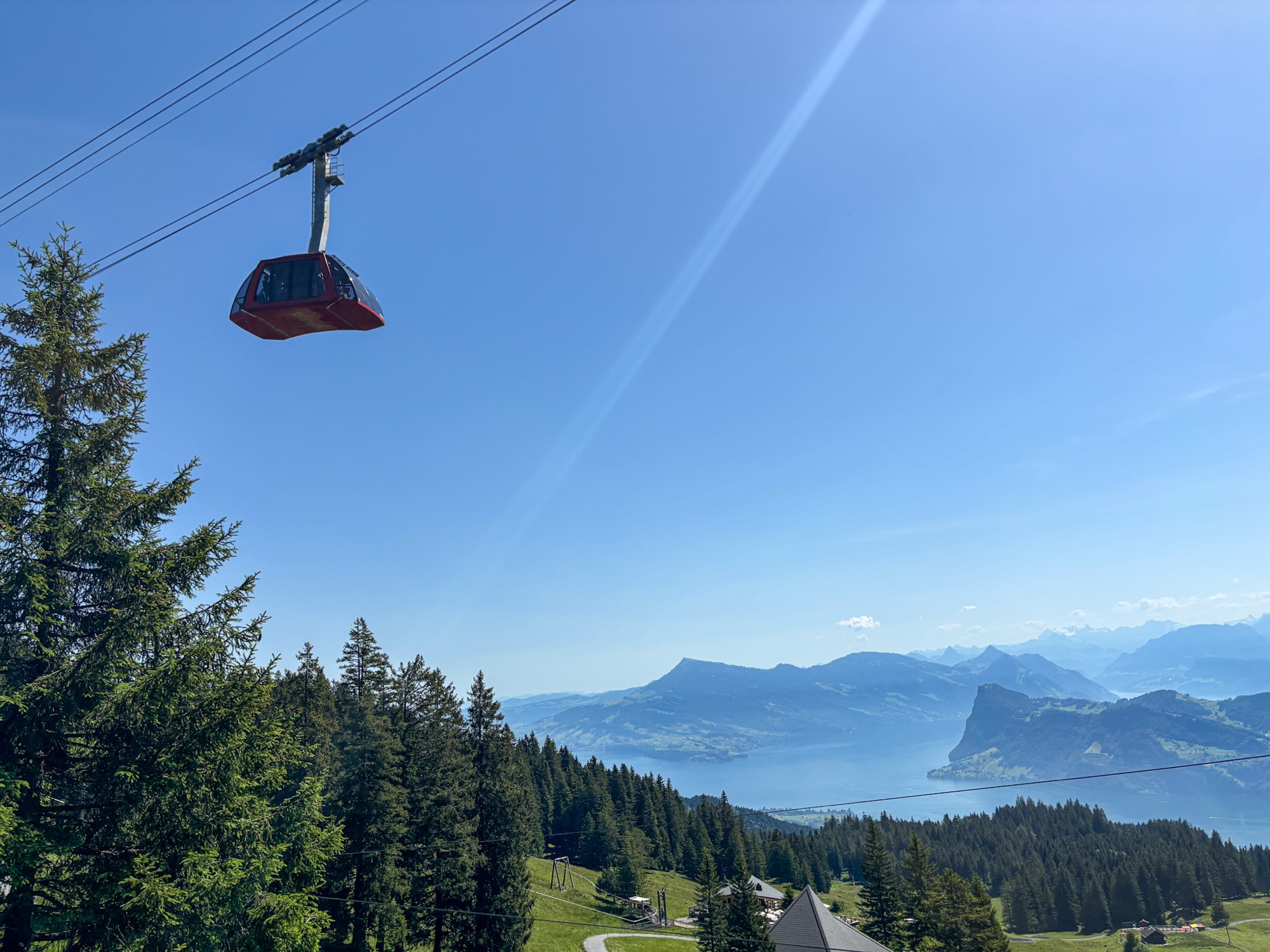
Mont Pilate : Dragon Ride téléphérique | Swiss Mounts
Le « Dragon Ride téléphérique » offre une vue panoramique à couper le souffle sur Lac des Quatre-Cantons.
img_7423
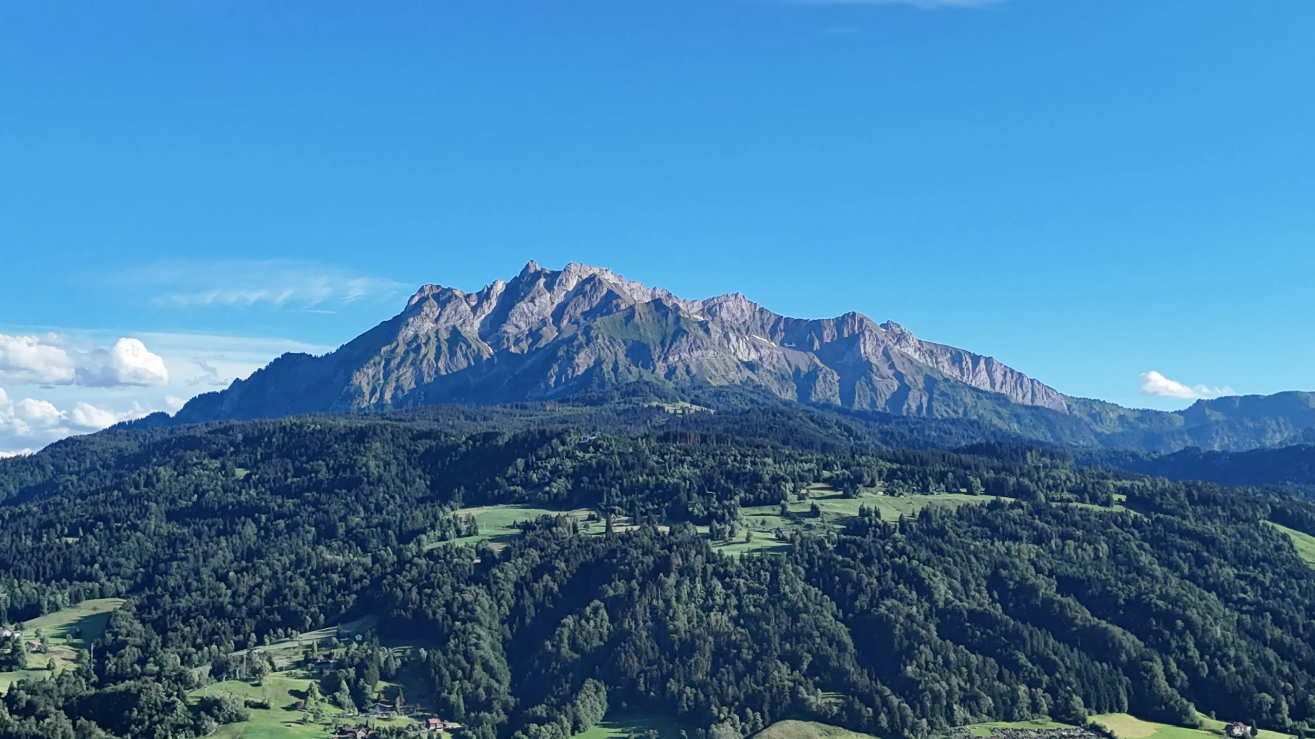
Mont Pilate, Lucerne, Suisse
Vue sur le mont Pilate au-dessus de Lac des Quatre-Cantons
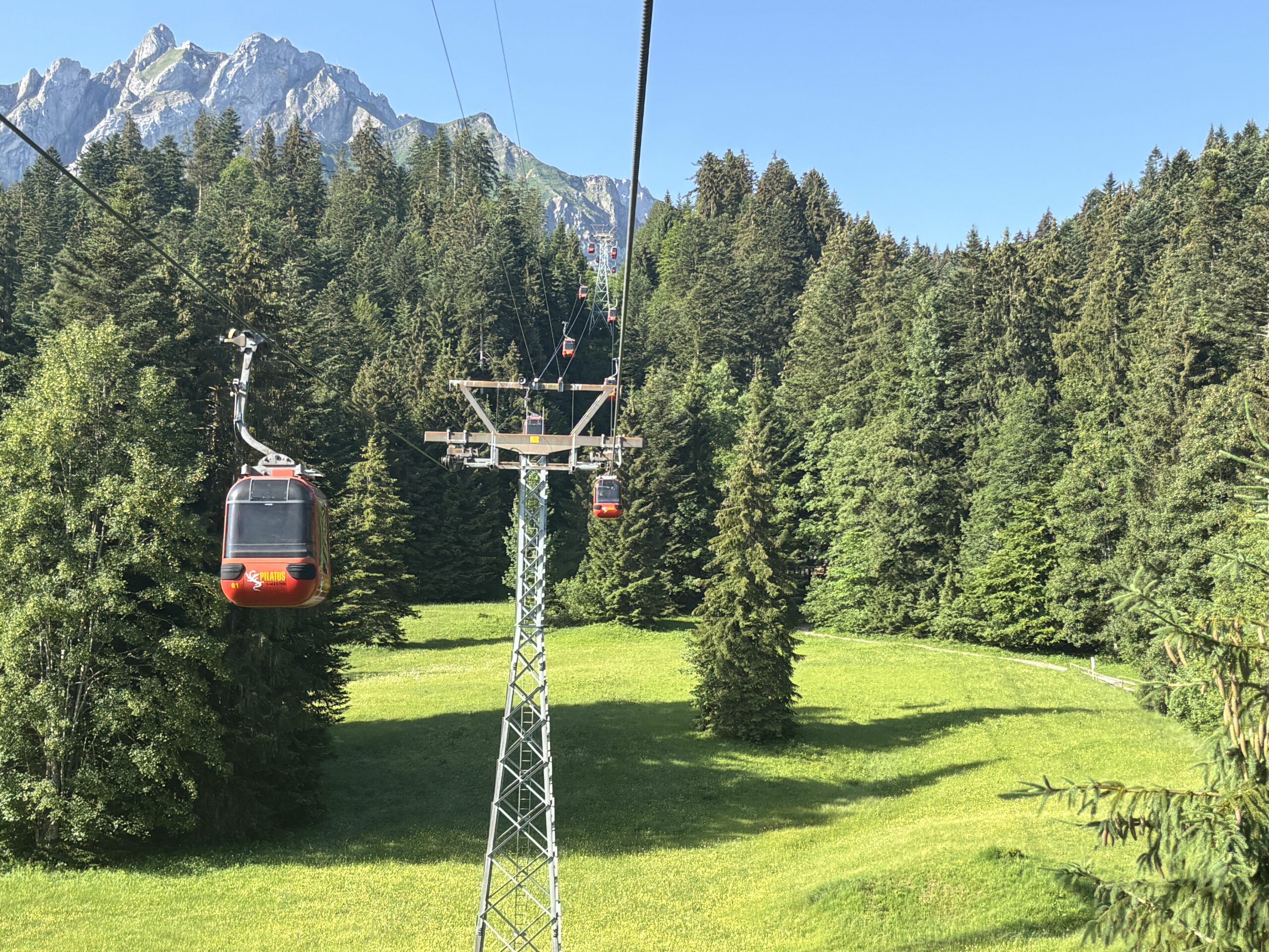
téléphérique de Kriens à Fräkmüntegg
La ligne Téléphérique reliant Kriens à Fräkmüntegg, sur le mont Pilatus.
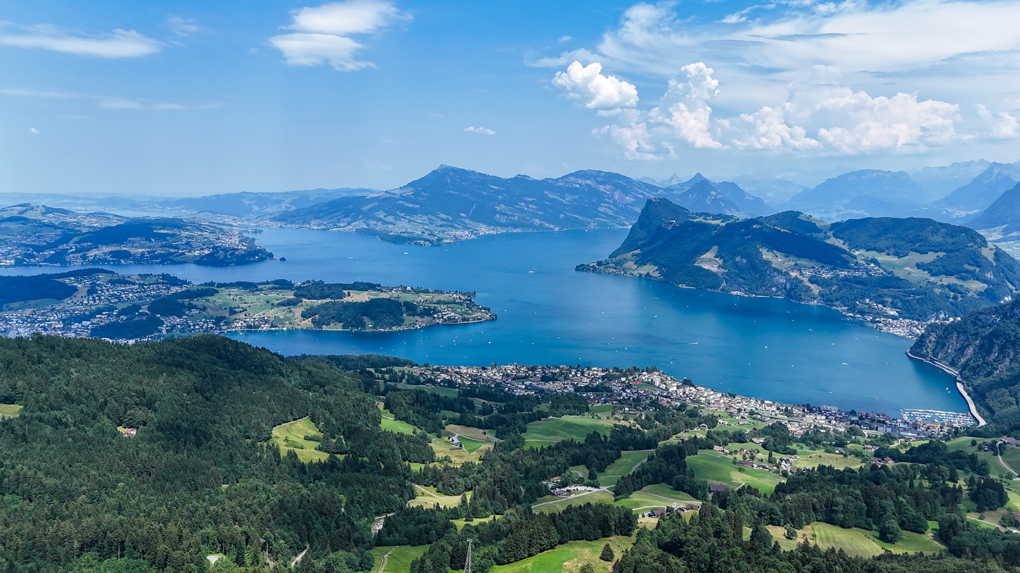
Panorama aérien Lac des Quatre-Cantons | SwissMounts
Spectaculaire panorama aérien de Lac des Quatre-Cantons, filmé par un drone au cœur de Suisse centrale.
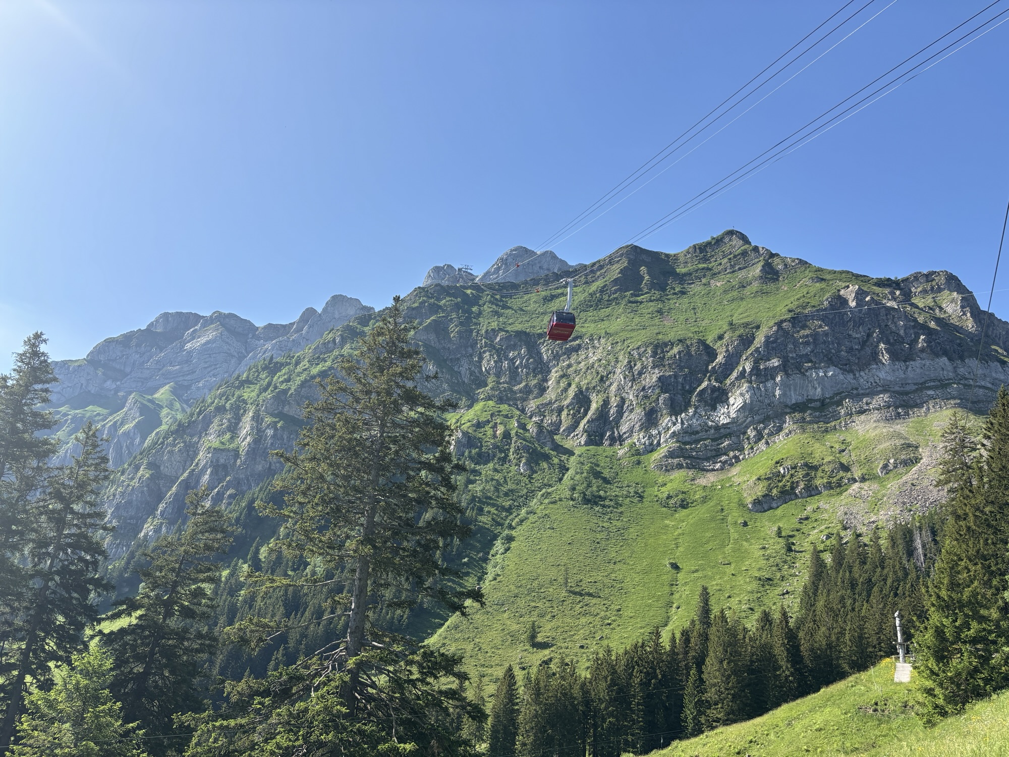
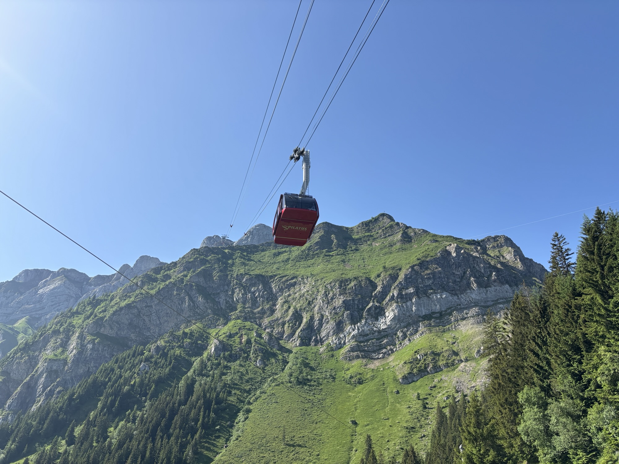
Dragon Ride téléphérique – Mont Pilatus
Le Dragon Ride téléphérique gravissant le mont Pilate, dans la région Lucerne en Suisse.