
Alpnachstad – Pilatus Kulm
Trail Overview
Google Maps
Length
8.7 km
Difficulity
🔴Difficult
Start Point
Alpnachstad
Duration
4 hours 30 minutes
Elevation
1,635 m
End Point
Pilatus Kulm
Trail Description
Alpnachstad to Pilatus Kulm Hike
The Alpnachstad to Pilatus Kulm Hike is one of the most challenging and rewarding mountain hikes in Central Switzerland. Starting in Alpnachstad on the shores of Lake Lucerne, the trail climbs more than 1,600 metres to Pilatus Kulm, offering incredible scenery throughout the ascent.
The route passes through forests, alpine meadows and rocky mountain terrain before reaching the spectacular summit of Mount Pilatus at 2,132 metres above sea level. Along the way, hikers are rewarded with breathtaking panoramic views over Lake Lucerne, the Swiss Alps and the surrounding valleys.
Trail Highlights
- One of Switzerland’s most famous mountain hikes
- Over 1,600 metres of elevation gain
- Spectacular panoramic views
- Historic Pilatus Cogwheel Railway alongside parts of the route
- Summit experience at Pilatus Kulm
Difficulty
The Alpnachstad to Pilatus Kulm Hike is rated as difficult and is recommended for experienced hikers with good fitness. The ascent is long and steep, requiring proper hiking boots and sufficient water.
Best Time to Hike
The trail is usually accessible from June until October, depending on snow conditions. Always check the weather forecast before starting the hike.
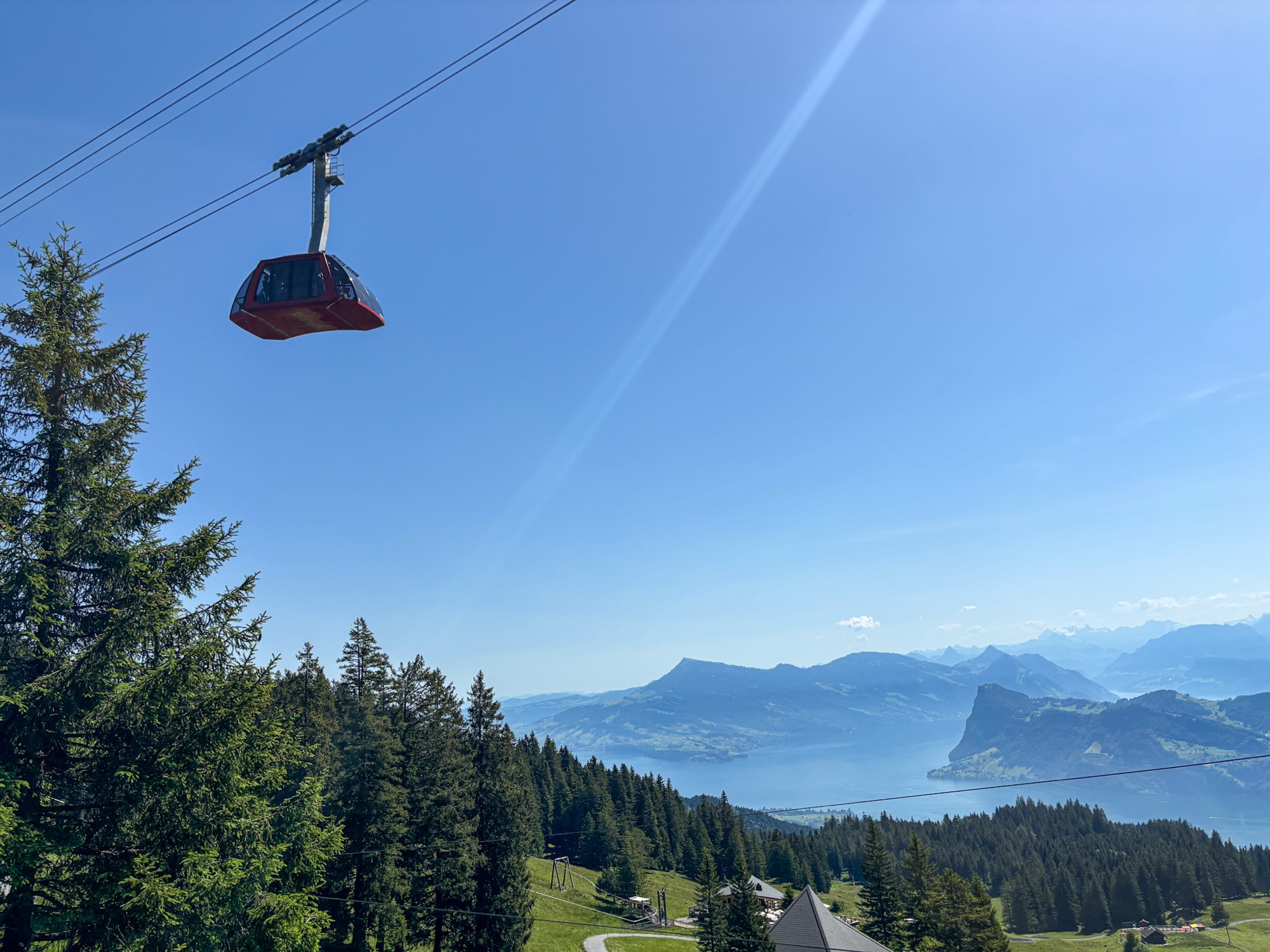
Mount Pilatus Dragon Ride Cable Car | Swiss Mounts
The Dragon Ride cable car offers breathtaking panoramic views over Lake Lucerne.
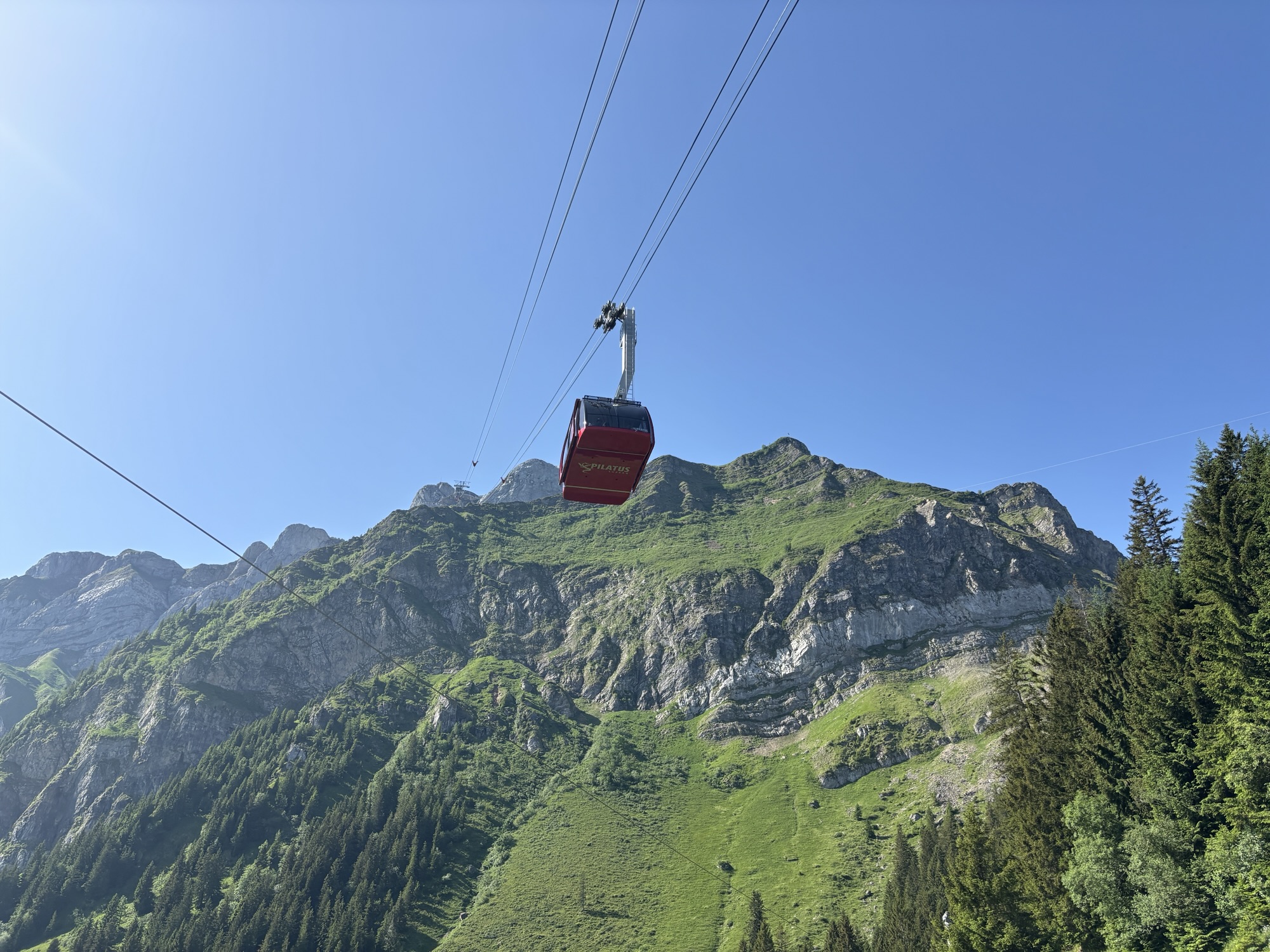
img_7423
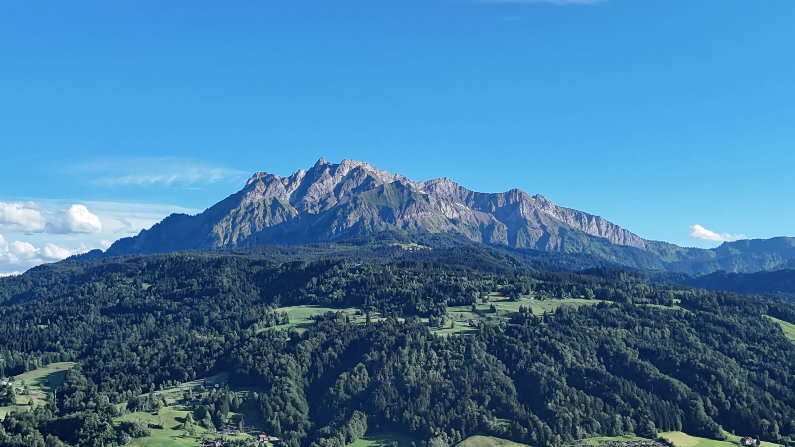
Mount Pilatus, Lucerne, Switzerland
View of Mount Pilatus above Lake Lucerne
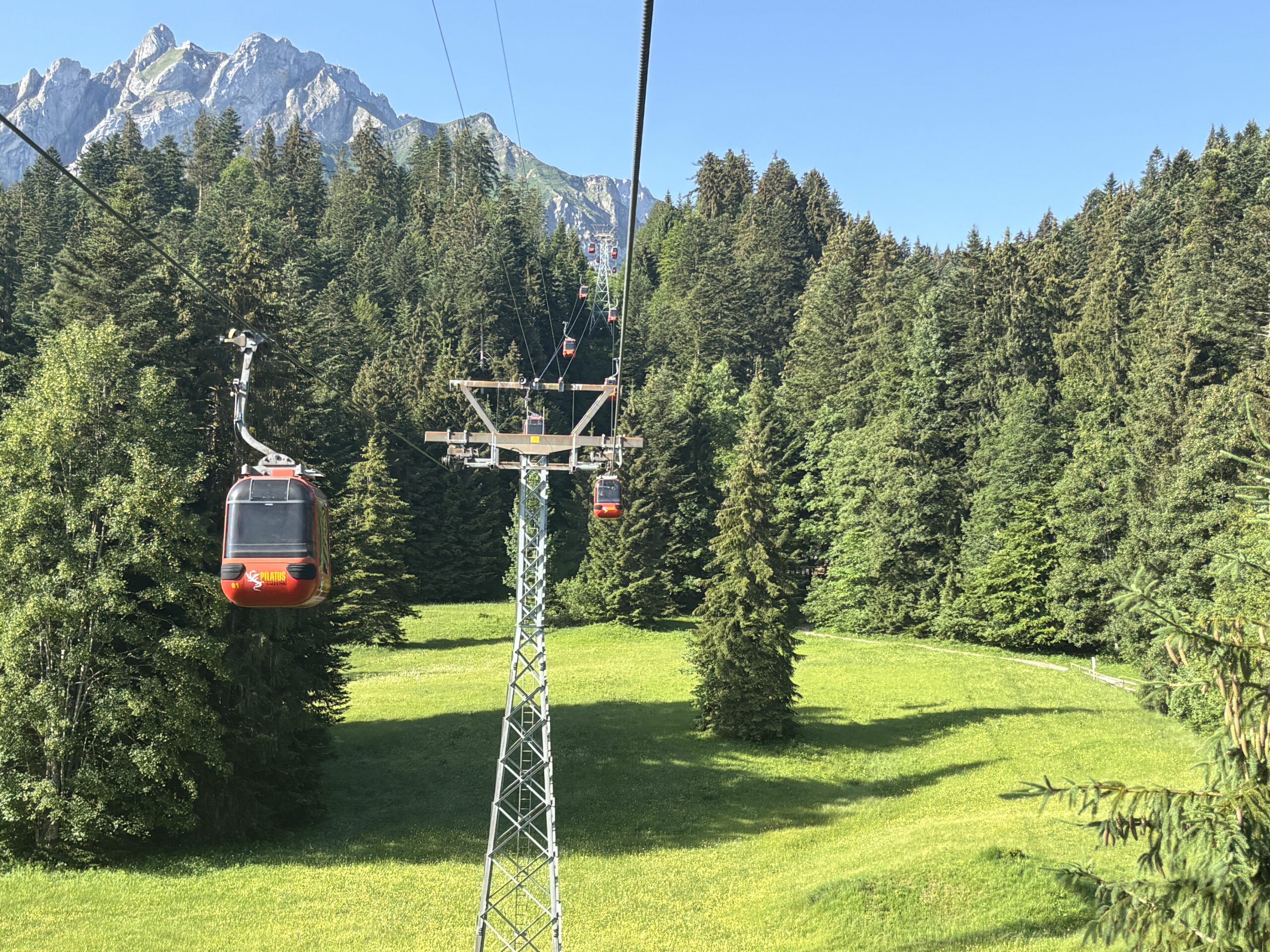
Cable Car from Kriens to Fräkmüntegg
Cable car connecting Kriens with Fräkmüntegg on Mount Pilatus.
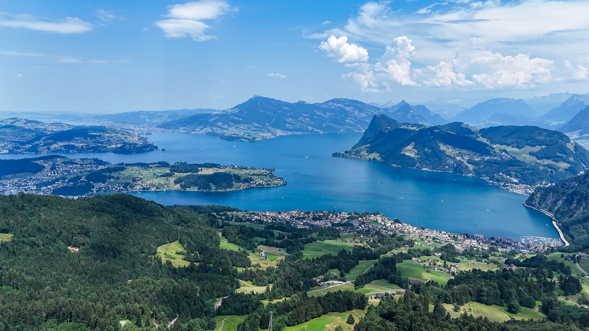
Lake Lucerne Aerial Panorama | SwissMounts
Spectacular aerial panorama of Lake Lucerne captured by drone in the heart of Central Switzerland.
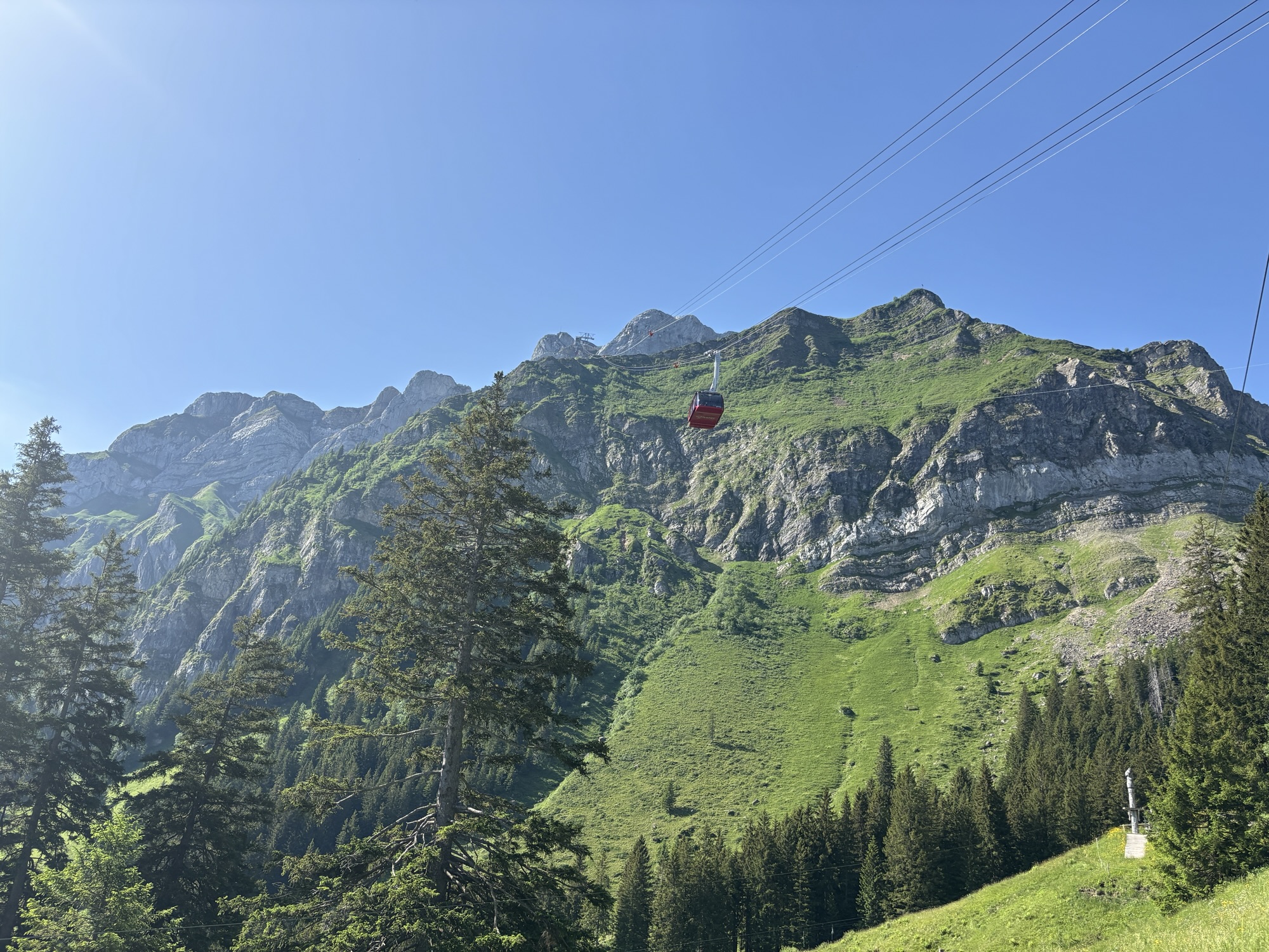
Dragon Ride Cable Car – Mount Pilatus
The Dragon Ride cable car ascending Mount Pilatus in the Lucerne region of Switzerland.