
Tomlishorn
Trail Overview
Google Maps
Length
2.8 km
Difficulity
🟢Easy
Start Point
Pilatus Kulm
Duration
1 hour
Elevation
120 m
End Point
Tomlishorn
Trail Description
Tomlishorn Hike
The Tomlishorn Hike is one of the most spectacular short hikes on Mount Pilatus. Starting directly from Pilatus Kulm, the well-maintained mountain trail leads to Tomlishorn, the highest peak of the Pilatus massif at 2,128 metres above sea level.
The route follows the dramatic mountain ridge and rewards hikers with breathtaking panoramic views over Lake Lucerne, Central Switzerland and the surrounding Alpine peaks. Despite its relatively short distance, the scenery is unforgettable, making it one of the most popular hikes on Mount Pilatus.
Trail Highlights
- Highest peak of Mount Pilatus
- Outstanding panoramic views
- Well-maintained mountain trail
- Perfect for photography
- Excellent sunrise and sunset location
Difficulty
The Tomlishorn Hike is considered easy to moderate. The trail is well secured but includes uneven rocky sections and some exposed areas. Sturdy footwear is recommended.
Best Time to Hike
The trail is usually accessible from June to October, depending on snow conditions and weather.
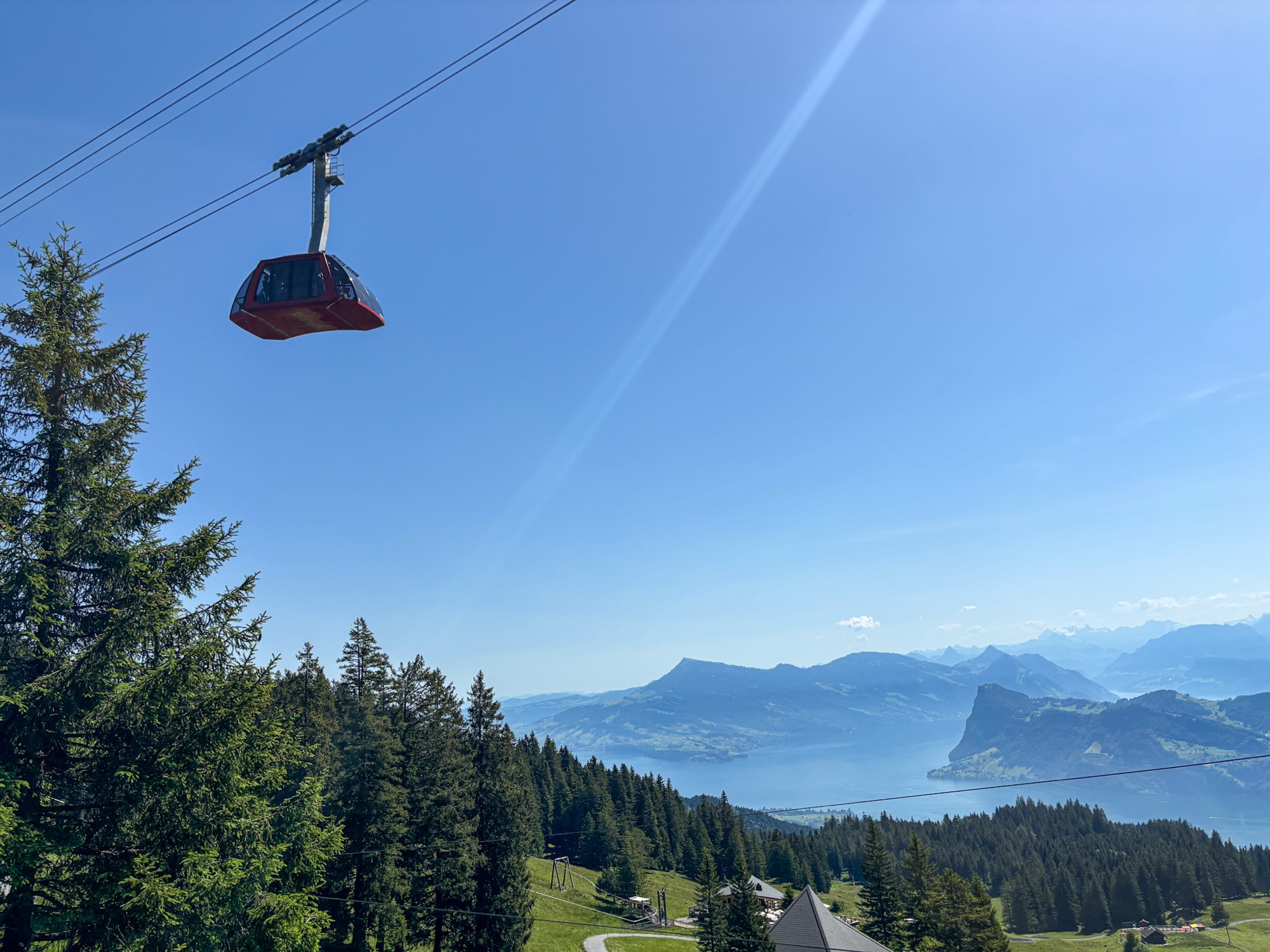
Mount Pilatus Dragon Ride Cable Car | Swiss Mounts
The Dragon Ride cable car offers breathtaking panoramic views over Lake Lucerne.
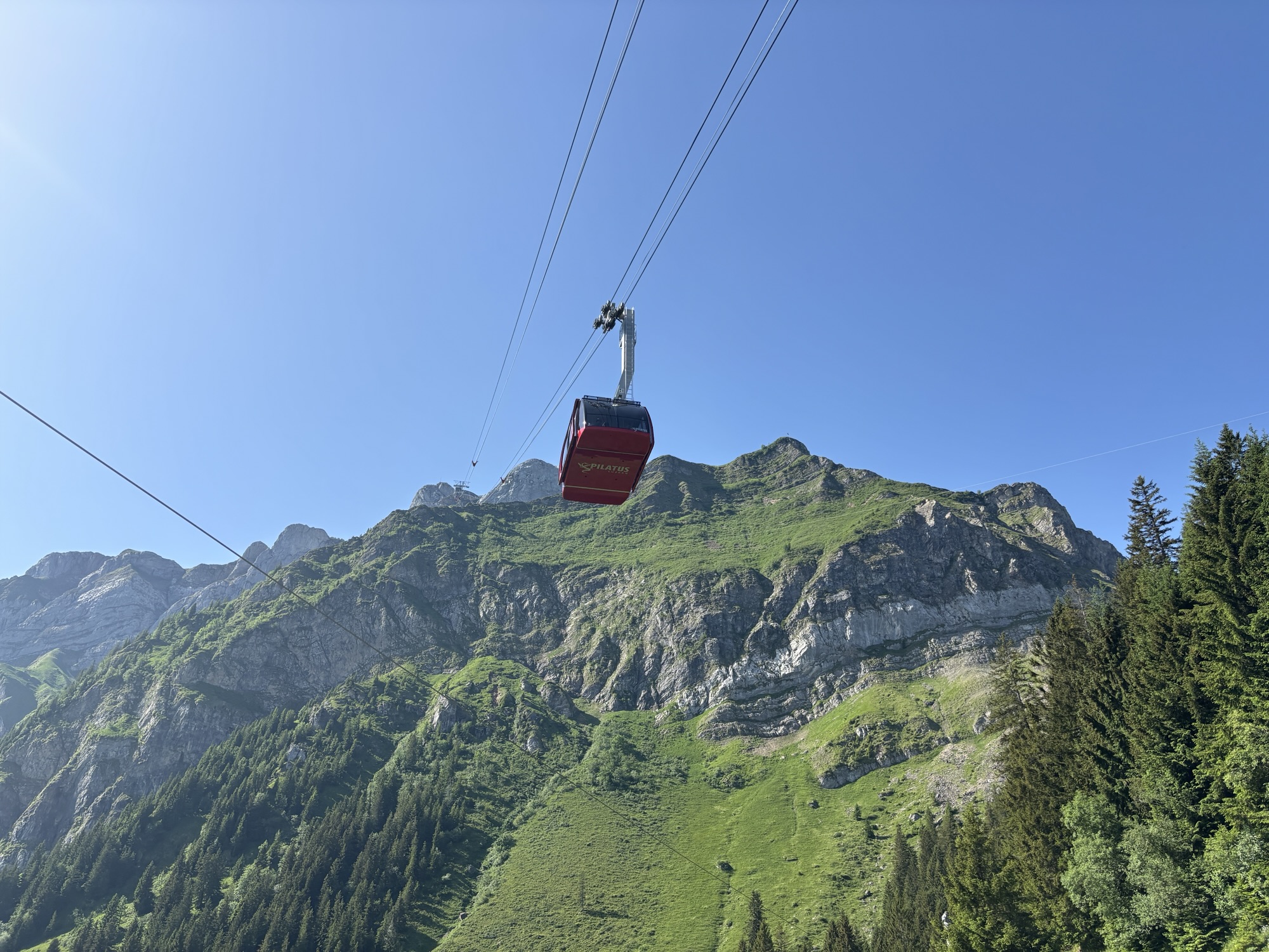
img_7423
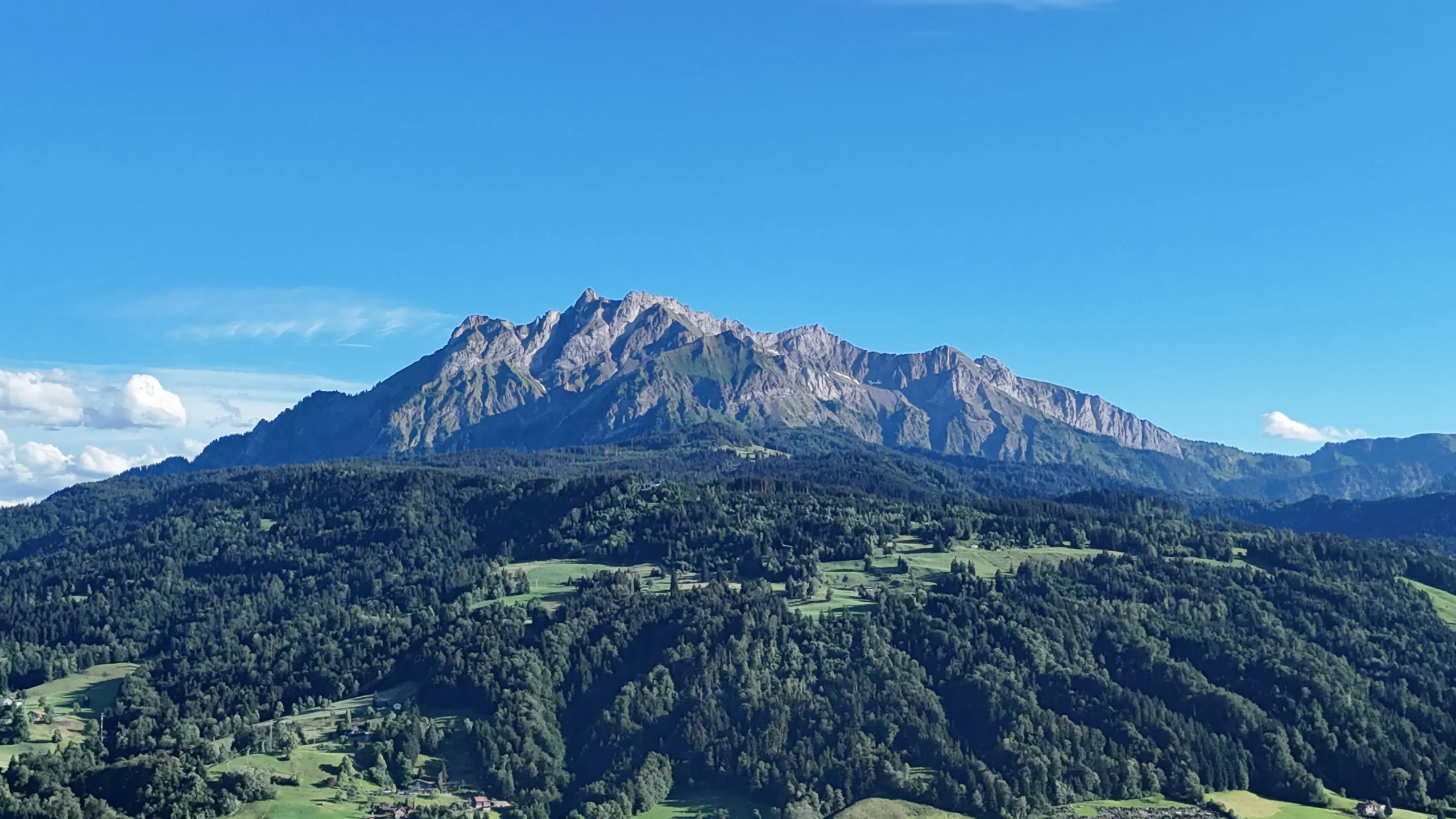
Mount Pilatus, Lucerne, Switzerland
View of Mount Pilatus above Lake Lucerne
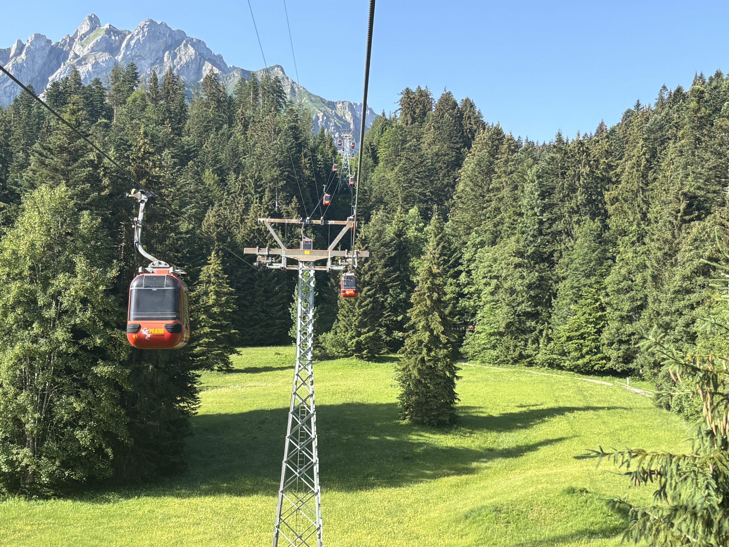
Cable Car from Kriens to Fräkmüntegg
Cable car connecting Kriens with Fräkmüntegg on Mount Pilatus.
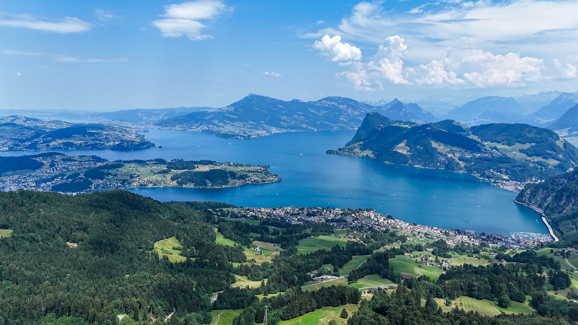
Lake Lucerne Aerial Panorama | SwissMounts
Spectacular aerial panorama of Lake Lucerne captured by drone in the heart of Central Switzerland.
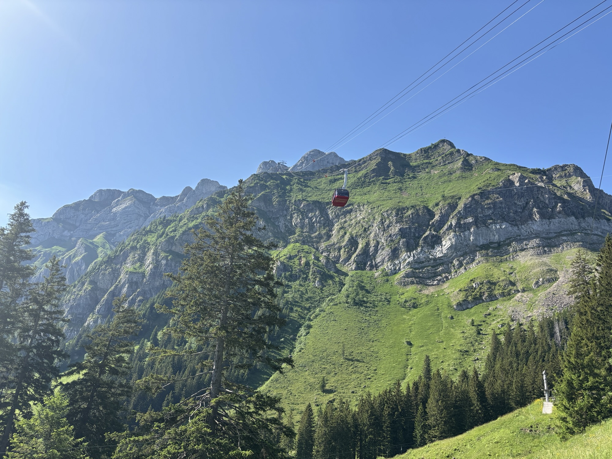
Dragon Ride Cable Car – Mount Pilatus
The Dragon Ride cable car ascending Mount Pilatus in the Lucerne region of Switzerland.